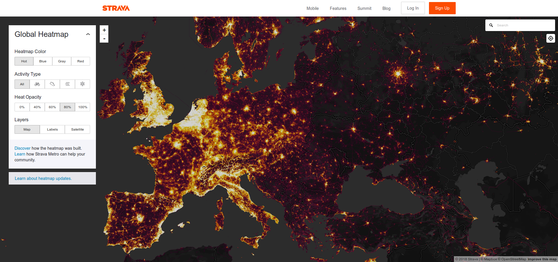
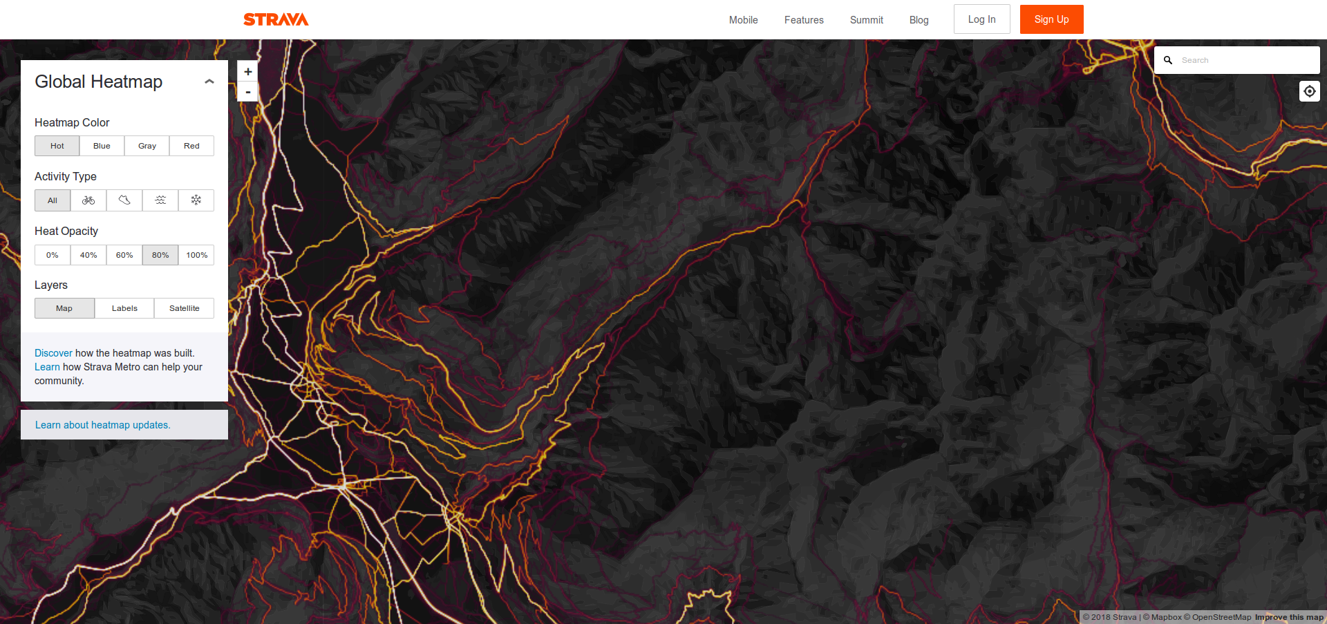
In my childhood this would have really interested me, now I rarely if ever check these. So I'll share a thought something else, about a thing that was already posted, this Strava Heatmap. These aren't a satellite images but whatever, here's the link once more: https://www.strava.com/heatmap#3.12/-4.60975/38.22672/hot/all As I know the woods in certain areas where I live I can judge by now how much traffic each road, trail, path gets and the "heat" mirrors this very well despite these maps only document certain sport activities (mostly running/jogging and cycling) as most of the time only sportsmen use these gps devices and not the average tourist.
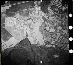
Also, let me draw attention to a previous post of mine, here: >>17901 These aren't sat images either, but at least real aerial photos.
 11/02/2018 (Fri) 07:38:37
No.20422
del
11/02/2018 (Fri) 07:38:37
No.20422
del