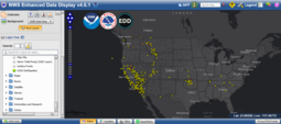
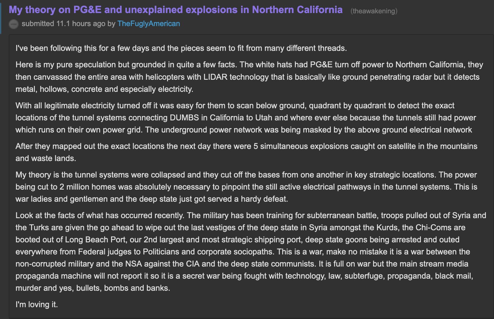
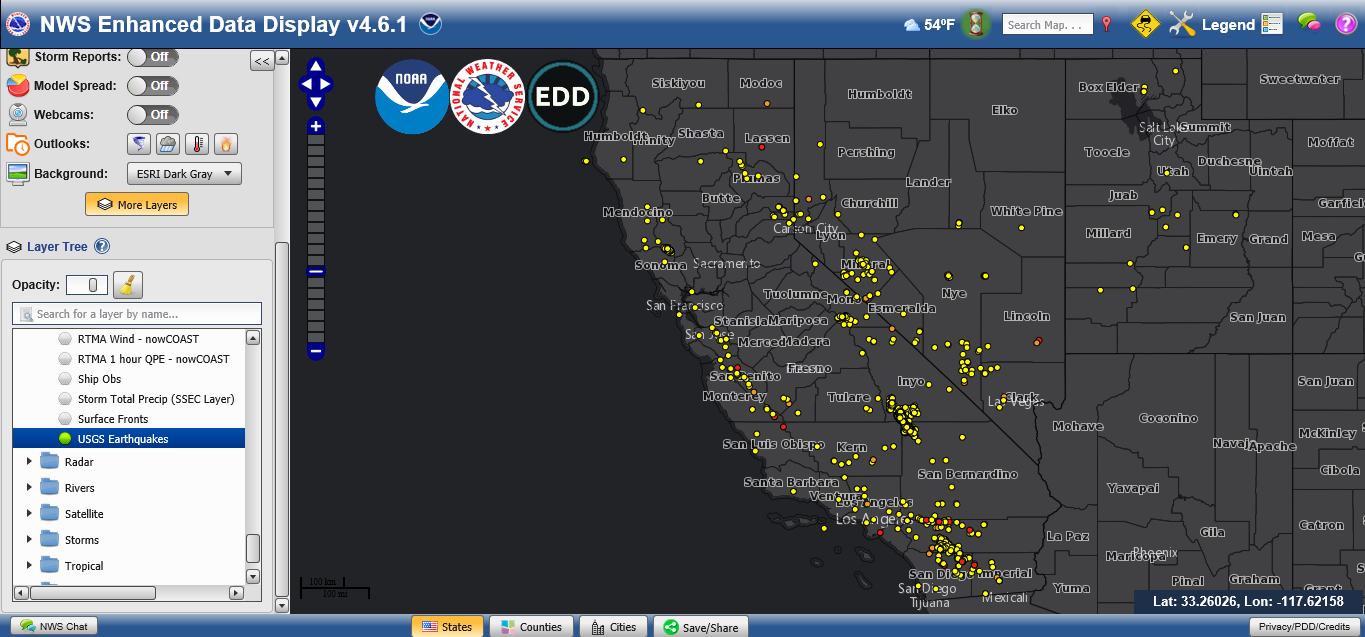
Twat pic claims the power cut-offs are related to US military efforts to find tunnels and DUMBS ('cause they have their own separate power sources) and that the quakes are instead the blowing-up of the tunnels. The quake map shows all the quakes of the past week in CONUS. Discern for yerself.
National earthquake map - Use More Layers and select US counties, US states, and Observations (USGS Earthquakes) - red circles are today's quakes, orange are yesterday's, and yellow is within the past week: